What Is A Drone 3d Model?
A drone 3D model is a digital representation of real-world objects or environments, created using aerial images captured by drones. This process, known as aerial photogrammetry, allows for the creation of highly accurate 3D models and maps that can be used in a wide range of applications. Drones are ideal for aerial photogrammetry because they can capture high-resolution images from various angles and altitudes. These images are then processed using specialized software to generate detailed 3D models of landmasses, buildings, construction sites, and other structures. The ability to collect precise spatial data makes drone-based modeling an essential tool in many industries today. One of the key advantages of using drones for this purpose is their affordability compared to traditional methods like manned aircraft. Drones also come equipped with geotagging technology, which embeds GPS data directly into each image. This ensures that every photo has accurate location information, which is crucial when building a precise 3D model. Drones are not only cost-effective but also user-friendly, making them accessible to professionals and hobbyists alike. Their ability to fly at low altitudes and maneuver around obstacles allows for more detailed and accurate data collection. Additionally, modern drones often include features like automatic flight paths, high-resolution cameras, and real-time data transmission, which further enhance their usefulness in photogrammetry projects. Once the images are collected, they are imported into 3D modeling software such as Pix4Dmapper or Agisoft Metashape. These tools use advanced algorithms to stitch together the images and generate a 3D model that reflects the real-world environment with remarkable accuracy. This model can then be used to measure distances, calculate volumes, and analyze spatial relationships—making it a powerful tool for planning, monitoring, and decision-making. Creating a drone 3D model requires careful planning and execution. Here’s a step-by-step guide to help you get started: When setting up your flight, make sure each photo overlaps by 60% to 70%. This helps the software accurately match features across images. Also, adjust your altitude and camera angle depending on the level of detail you need. Flying higher provides broader coverage, while flying lower captures finer details. Drone 3D models have become indispensable across multiple sectors. In agriculture, farmers use these models to monitor crop health and optimize resource use. In architecture and engineering, they help visualize project designs and secure funding. Construction companies rely on them for progress tracking and site inspections. Inspection services use 3D models to safely assess infrastructure, while land surveyors create historical records of terrain changes. Energy companies inspect power lines and facilities remotely, and public safety agencies use them to document crime scenes and natural disasters. In real estate, 3D models offer potential buyers a virtual tour of properties, even if they can’t visit in person. As technology continues to evolve, the applications for drone 3D modeling are expanding rapidly, making it a vital tool for professionals in many fields. As drone technology advances, we're seeing the development of more sophisticated systems capable of carrying advanced sensors. One example is the Elios 3, a drone designed for indoor inspections. It features a modular payload system, including LiDAR, which enables real-time 3D mapping in challenging environments. This innovation is transforming how inspections are conducted, allowing engineers and inspectors to gather detailed data without putting themselves at risk. The resulting 3D models serve as valuable records of asset conditions over time, supporting maintenance and safety protocols. With ongoing improvements in hardware and software, the future of drone 3D modeling looks incredibly promising. As these technologies become more accessible and efficient, their impact on industries worldwide will continue to grow. Whether you're a professional or a hobbyist, the world of drone 3D modeling offers exciting opportunities for exploration and innovation. Manual Lift Table,Manual Lift Table Cart,Manual Scissor Lift,Manual Lift Platform Jiangsu Lundi Forklift Co.,Ltd. , https://www.lundilift.comWhat Is a Drone 3D Model?
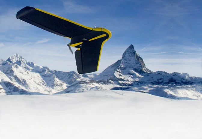 The eBee Classic, a drone designed specifically for surveying and mapping
Why Drones Are Great for Aerial Photogrammetry
How To Create A Drone 3D Model
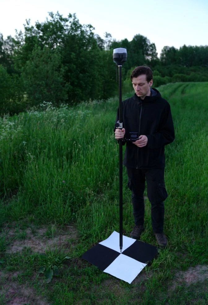 Calibrating GCPs for accurate mapping
Industries That Use Drone 3D Models
The Future of Drone 3D Models