What Is A Drone 3d Model?
A drone 3D model is a digital representation of a real-world object or environment, created using aerial images captured by drones. This process, known as aerial photogrammetry, allows for the creation of highly accurate 3D models and maps that can be used in various industries. Drones are widely used in aerial photogrammetry to capture images of large areas such as landmasses, buildings, construction sites, and other elevated structures. These images are then processed with specialized 3D modeling software to generate detailed and precise 3D models. Drones offer an affordable and user-friendly alternative to traditional methods like using airplanes or helicopters for aerial surveys. They are equipped with advanced technologies, including geotagging, which automatically records geographical data in the image metadata during capture. This data includes altitude, longitude, and latitude, all of which are crucial for creating accurate 3D models. Thanks to the availability of powerful 3D modeling platforms, converting drone-captured images into 3D models has become more accessible than ever. These models allow users to measure distances, calculate volumes, and analyze spatial relationships with high precision. Creating a drone 3D model requires careful planning and the right tools. Here’s a step-by-step guide to help you get started: Aerial photogrammetry works by capturing images of the same subject from multiple angles. The overlapping images allow for triangulation, which helps determine the exact position of each point in 3D space. The more images you take, the more detailed and accurate your final model will be. Key tips for setting up your flight: Due to their precision and ease of use, drone 3D models have become essential tools across many industries. From agriculture to public safety, these models provide valuable insights and help professionals make informed decisions. Some common applications include: As technology continues to evolve, drones are becoming more advanced, with higher payloads and better sensors. The Elios 3, for example, features a modular design that supports LiDAR, enabling real-time 3D mapping even in challenging environments. This innovation makes it easier for inspectors to collect data and identify issues quickly. The 3D maps also serve as a long-term record of asset maintenance, ensuring transparency and accountability over time. With continuous advancements, the future of drone 3D modeling looks promising, offering new opportunities across a wide range of sectors. Pallet Jacks,Small Pallet Jack,Pallet Jack Forklift,Pallet Jack Truck Jiangsu Lundi Forklift Co.,Ltd. , https://www.lundilift.comWhat Is a Drone 3D Model?
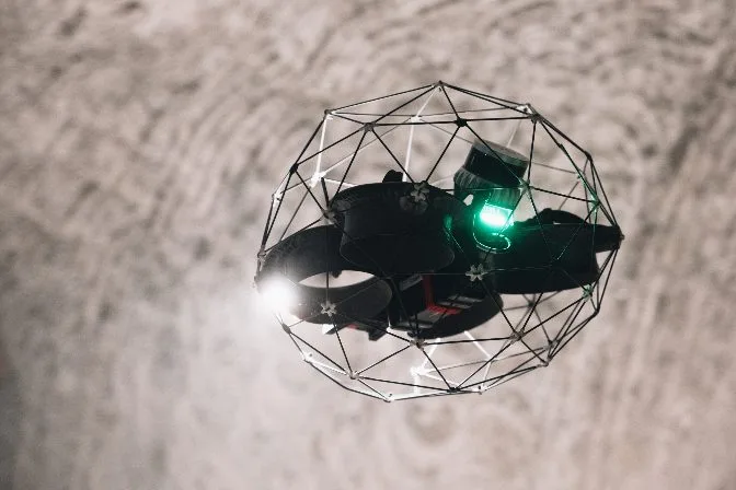
Why Drones Are Great for Aerial Photogrammetry
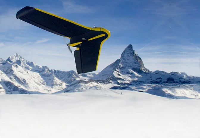 The eBee Classic, a drone designed specifically for surveying and mapping
How To Create A Drone 3D Model
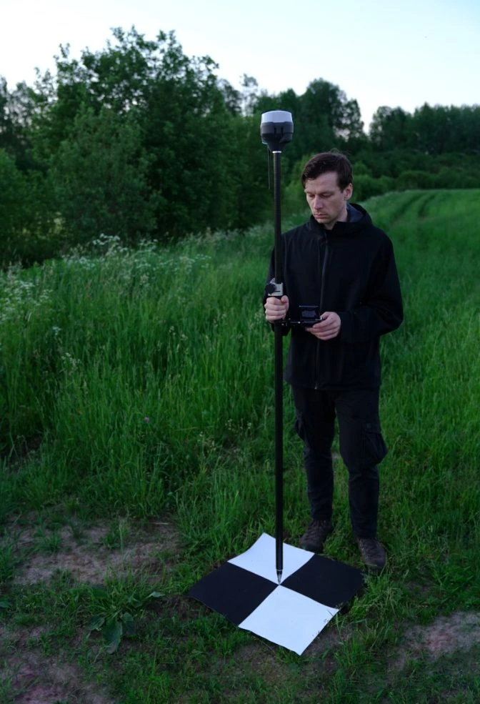 Calibrating GCPs
Getting the Right Data for Your Drone 3D Model
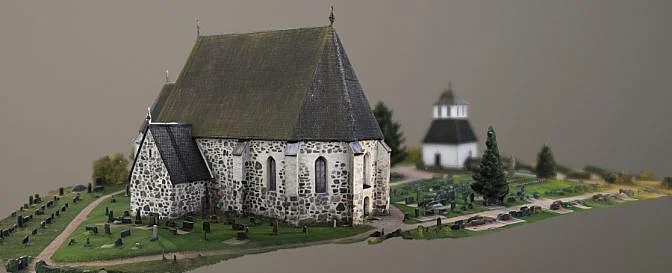 Drone 3D model | Source: Lassi Kaukonen
Industries That Use Drone 3D Models
The Future of Drone 3D Models